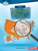
Want to know just how tall Mount Everest is? Or what the city of Denver’s elevation is? Then look at a topographic map! These maps use lines to show the height and shape of Earth’s surface. But how do you read the lines? And what other features do these maps have? Read on to learn the ins and outs of topographic maps!
Ngôn ngữ Anh ● định dạng PDF ● ISBN 9781512410754 ● Nhà xuất bản Lerner Publishing Group ● Được phát hành 2016 ● Có thể tải xuống 3 lần ● Tiền tệ EUR ● TÔI 5034550 ● Sao chép bảo vệ Adobe DRM
Yêu cầu trình đọc ebook có khả năng DRM


